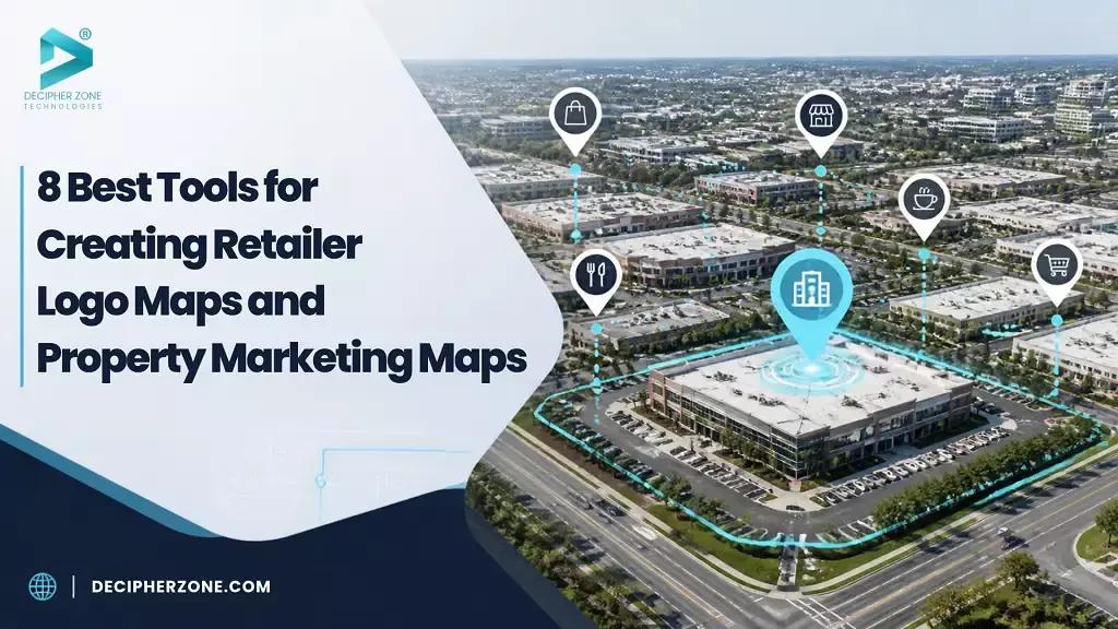
Retailer logos have to remain readable at the size a map will be published. Readers need to be able to find the subject property, and nearby businesses need to appear in the right places. Those requirements are easy to lose when a map contains too many labels or when an attractive preview is reduced to fit a brochure.
Choose the software for the material the team needs to publish. Some tools build retailer maps inside an offering memorandum. Others let a team upload its own marker images and share a map readers can explore. A built-in logo search finds an image for the team. A custom-image tool lets the team use a file it has chosen. Decide which task needs doing before starting the design.
|
Tool |
Map material |
Useful delivery format |
|---|---|---|
|
Buildout |
Retailer context and branded property maps |
Marketing documents and property sites |
|
CREBuilder |
Retailer logos, aerial maps and annotations |
Documents with paid PDF export |
|
Maptive |
Supplied logo markers and property records |
Map images and interactive links |
|
IntellCRE |
Available retailer logos and custom uploads |
Map pages inside brochures and OMs |
|
Scribble Maps |
Imported locations with drawings and labels |
Images, PDFs and shared maps |
|
Mapme |
Supplied image markers and location media |
Embedded property directories |
|
ZeeMaps |
Custom image markers and searchable fields |
Published maps and map images |
|
ArcGIS Online |
Managed property layers and tabular attributes |
Interactive web maps |
GIS (Geographical Information System) Software Development
GIS software development, features, benefits, costs and development process.
Maps for Printed Property Materials
1. Buildout for a Complete Marketing Package
Buildout is the first choice when a retailer map belongs inside a larger property-marketing package. Showcase uses saved property details to make offering memoranda, flyers, brochures, proposals and property sites. Its retailer-map tools let the user find nearby stores and choose which to show in those materials.
The benefit extends beyond the map page. A team making several kinds of sales material can reuse its saved property details in each one. It can add branded maps and comps to the same documents as the rest of the listing details.
Buildout makes most sense when the brokerage needs that wider publishing process. Its marketing pricing includes a brokerage platform fee in addition to broker seats, so a general starting price does not give the full cost of Showcase. The map is one part of the subscription decision.
A team wanting a standalone map file should confirm that output before choosing the package. The retailer-map tools described here make sales materials. That is a different job from making a separate web map for analysis.
2. CREBuilder for Retailer Logos and Map Annotations
CREBuilder offers a more direct retailer-logo workflow inside its Map Builder. Brandfetch lookup supplies business logos for placement on aerial maps, and the tool supports a subject-property marker, labels, leader lines and drawn outlines. Several maps can be used in the same document.
That combination is useful for a map that needs to explain a property as well as identify surrounding stores. A label can point to an entrance or a drawn area without forcing the location information into a long caption. The finished maps become part of an offering memorandum, flyer or property website.
The free Starter plan permits map creation and online previews for a limited number of documents. Downloading a PDF requires Pro, and additional team seats have a separate cost. A preview may look right, but the team still needs the paid plan to send a PDF to a client or printer.
Check the store location as well as its logo. Finding the right business image does not establish that the mapped store is open or occupies the exact premises shown.
3. Maptive for Supplied Logos and Property Records
Maptive's property mapping tools suit a team that wants the property data and the presentation map to stay together. The platform accepts uploaded company logos or other custom images as markers, and its grouping controls can apply the same style to a category of locations.
This suits a brokerage that keeps its own list of properties and stores. The records can carry addresses, business categories and other useful fields, while the markers distinguish the subject from surrounding locations. Map images can be exported for a document, or the team can share a live interactive view.
The logos are supplied by the user in this workflow. A team that wants the software to find retailer logos should check whether the document tools above supply the images it needs.
Choose how styles will survive a data update. Changes made to individual markers do not enter the legend and can be overwritten when the data reloads. Apply styles to groups when the marker designs need to survive updates and appear in the key.

4. IntellCRE for Retailer Maps Inside an OM
IntellCRE's Map Module places retailer maps in Page Builder, which makes brochures and offering memoranda. It can show the subject property, nearby retailers and other points of interest in 2D or 3D views.
Selecting a retailer can add its available logo. Custom uploads provide another route when the required image is missing, while logo-only, logo-and-text and text-only pin styles give the designer different ways to manage a busy area. The finished map page appears in the brochure's live preview.
It suits a team that wants to edit the map within the document. Check whether it can also provide a separate image, PDF or map-data file if the team needs one. A brochure preview does not confirm those exports.
Grouping several retailer logos was described as a planned update in the feature announcement. Do not assume that tool is now available to fix overlapping logos. Check the current pin and text controls and lay out the map with the tools the team can use.
Software Solutions for Real Estate Firms
Explore real estate software solutions, property management, geolocation, automation and development costs.
Interactive Property Maps and Custom Designs
5. Scribble Maps for Drawing Around Imported Locations
Scribble Maps brings imported locations and map annotation into the same workflow. Its spreadsheet page supports Excel, CSV and Google Sheets inputs, with headers used to select the location columns. Imported rows can supply the information shown in a marker popup.
For property marketing, that gives the team a useful base for adding drawings and labels around known locations. Column-based colors, sizes and labels can distinguish the subject and surrounding records, while exports include PNG and PDF. A shared map can serve a reader who needs to explore beyond the printed view.
Choose a plan that covers the work. Address geocoding has monthly allowances, and white labeling is listed with Pro Business. The unlimited-view offer has a limit for Google basemaps. After their view allowance is used, the map can switch to another base.
Scribble Maps is useful when drawings and labels matter more than a ready-made system for property documents. Importing a sheet still does not find every neighboring tenant for the team.
6. Mapme for a Property Directory With Richer Entries
Mapme fits a property website or directory where each location needs more than a marker. It supports images and other location media, website embeds and custom image markers. A property entry can therefore carry the supporting material that would be hard to fit beside a printed map.
Spreadsheet imports begin on Professional, while the Map to Sheets add-on is included with Expert and Enterprise. For direct editing, the documented process uses synchronization and then publishing to make changes live. A linked spreadsheet does not mean each mode publishes changes at once.
Check how many locations the map will need. The self-service Professional plan allows 300 per map, and Expert allows 500. Those limits can suit a small property directory. Check the plan scope for a larger list, including the locations the team expects to add later.
Mapme suits a team that wants to keep a map of its locations online for visitors to explore. Images and location details need to be kept up to date as part of that work, beyond making the first retailer diagram.

7. ZeeMaps for Custom Markers and Searchable Property Fields
ZeeMaps accepts spreadsheet data and allows users to supply their own marker images. Readers can search custom fields. Access roles give viewers, members and administrators different rights. Those features suit a shared property map whose readers need to find particular locations or attributes.
The platform also offers map images and regional shading, so a team can combine a published location map with a separate image for a presentation. Check that the plan can supply an image of the size the team needs and publish it for the people who will use it.
Read what its unlimited-points offer covers. Geocoded uploads still have plan-specific limits, and maps outside an active paid subscription freeze after 100 views. A map meant to stay online needs a plan that covers those visits.
Custom logos here are image files supplied by the team. Recognizable brands on the markers do not prove that the store list is correct.
8. ArcGIS Online for Analyst-Built Property Web Maps
ArcGIS Online suits property-marketing maps built from layers an analyst manages. Hosted property records keep their data fields and can appear in a web map that readers explore. The team's roles control who can create and publish content.
It is a useful route when an analyst already manages the property data and surrounding geographic information. The marketing view can be built from that maintained resource instead of a second, unrelated property list.
This is a broader mapping system. The team needs to manage how the data is stored, published and shared. Address matching can also consume credits. A team whose main requirement is built-in retailer-logo placement should check how it will add and style those symbols before choosing ArcGIS Online for the job.
Retail Analytics Implementation Guide
Explore retail analytics tools, implementation processes, AI integration and data-driven retail decisions.
Review the Published Map at Its Final Size
The last design check should use the actual brochure page, image size or embedded-map frame. A logo that looks clear on a large screen may become difficult to read after reduction.
The subject marker, surrounding labels and legend need enough separation to retain their meaning.
Check the retailer details and record when they were checked. The team should verify the locations it plans to show and keep track of the image sources and their permitted uses. A logo alone does not show that a store is still open or support a sales forecast for the site.
Readers should be able to use the finished map without stopping to work out what its symbols mean. A small map with clear store labels and an easy-to-find subject can serve the property better than a crowded view of every nearby logo. Check that the final format preserves that clarity. An exported image fixes the chosen view, while a web map gives readers room to explore; choose the output to suit how they will use it.